
First week off-road
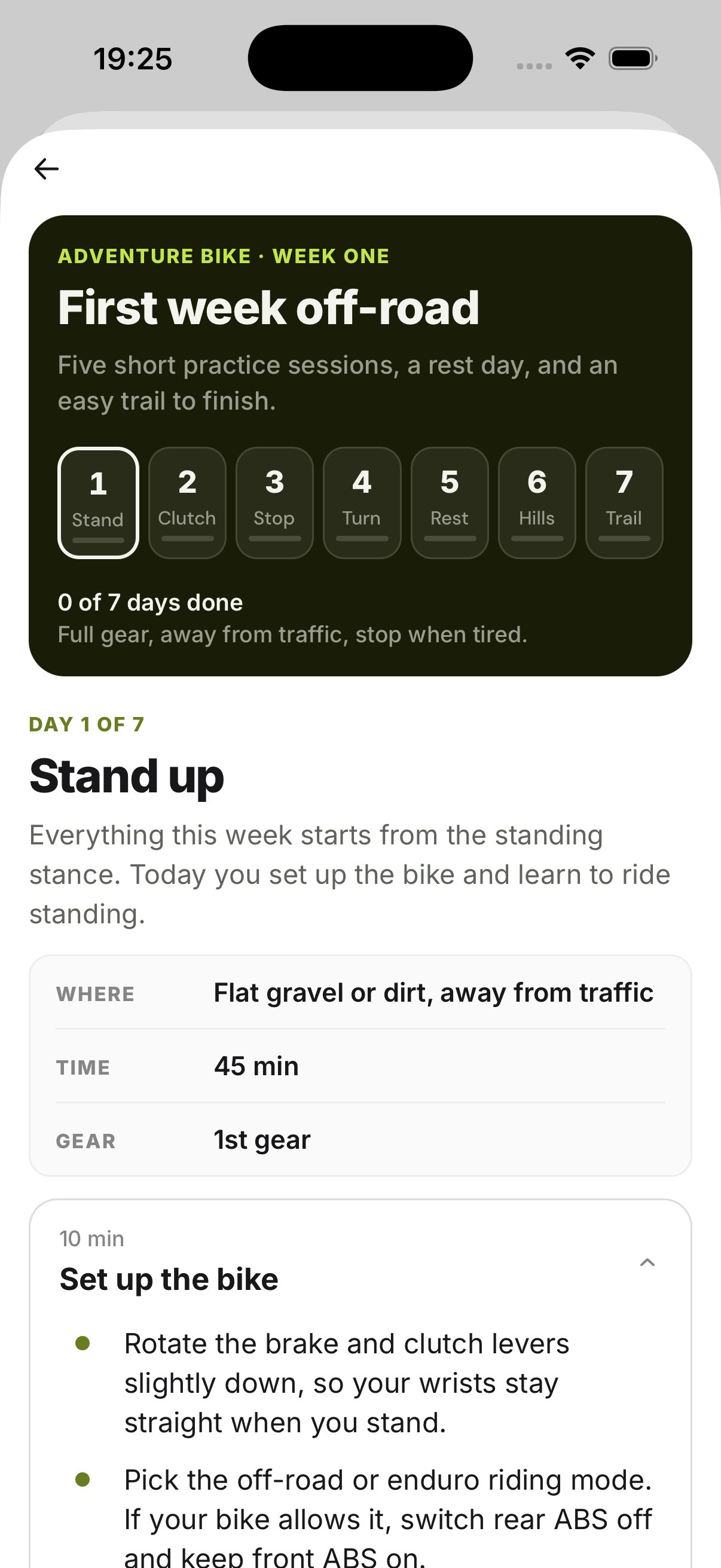
Seven days, from your first standing lap to your first trail: stand, clutch, stop, turn, rest, hills, trail.
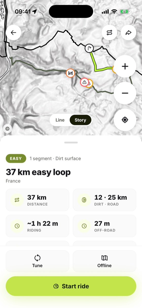
TourenUp builds a loop on unpaved ways and checks each one against public data before it routes it. Then you ride it as a rally roadbook, offline.

 Laser · bare ground
Aerial photo
Laser · bare ground
Aerial photo
Each unpaved way is checked against public sources before it is routed. The trip shows what was checked, the source and the date.
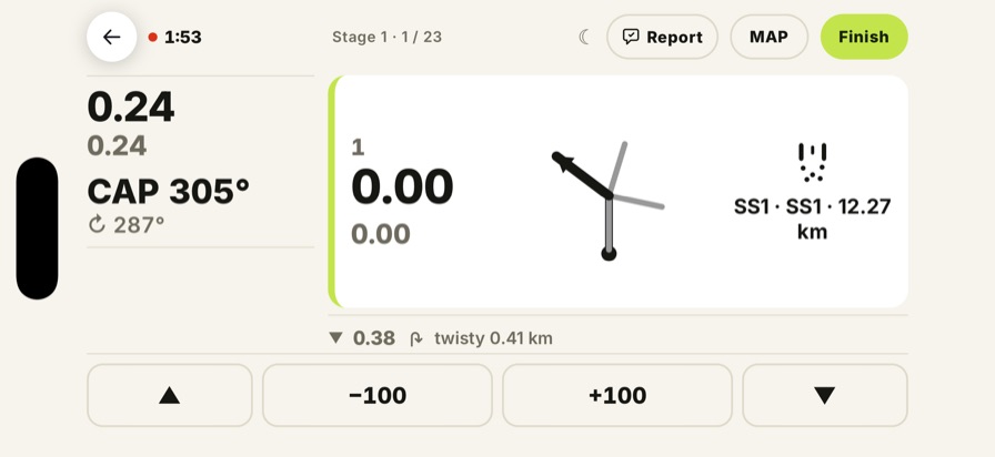
See the sourcesAny trip becomes a roadbook: tulips at the real junctions, distance and heading. It works with no signal.
See a roadbookA seven-day first week off-road, and a real coach who watches your clip and replies.
Meet the coach01 · Checked data
Before TourenUp routes an unpaved way, it reads what public sources say about it. If the data marks the way closed or private, the way is left out of the loop.
Laser model: with the trees taken out, the road, side tracks and paths show. Numbers match the readings. Forêt de Tronçais, Allier. © IGN.
3.2 m
Measured on the ground, not taken from a map line.
Real IGN tile. The readings are examples; the build shows the values measured for each way.
Three things happen on every trip it builds.
It is a check, not a permit.
Signs on site decide.
Data has a date. A barrier can go up the day after. If what you find differs from the trip, the sign on site is what counts.
The fit
Besides the data, it takes three things from you.
Tell it how long you have. The loop fits the time.
Matched against the surface of each way.
Riding together? The heaviest bike sets the limit for everyone.
02 · Rally roadbook
LiveEvery generated trip becomes a rally roadbook on its own.
03 · Coach
Coach mode is about what the bike does on the ground in front of you. There are no levels, scores or rankings.
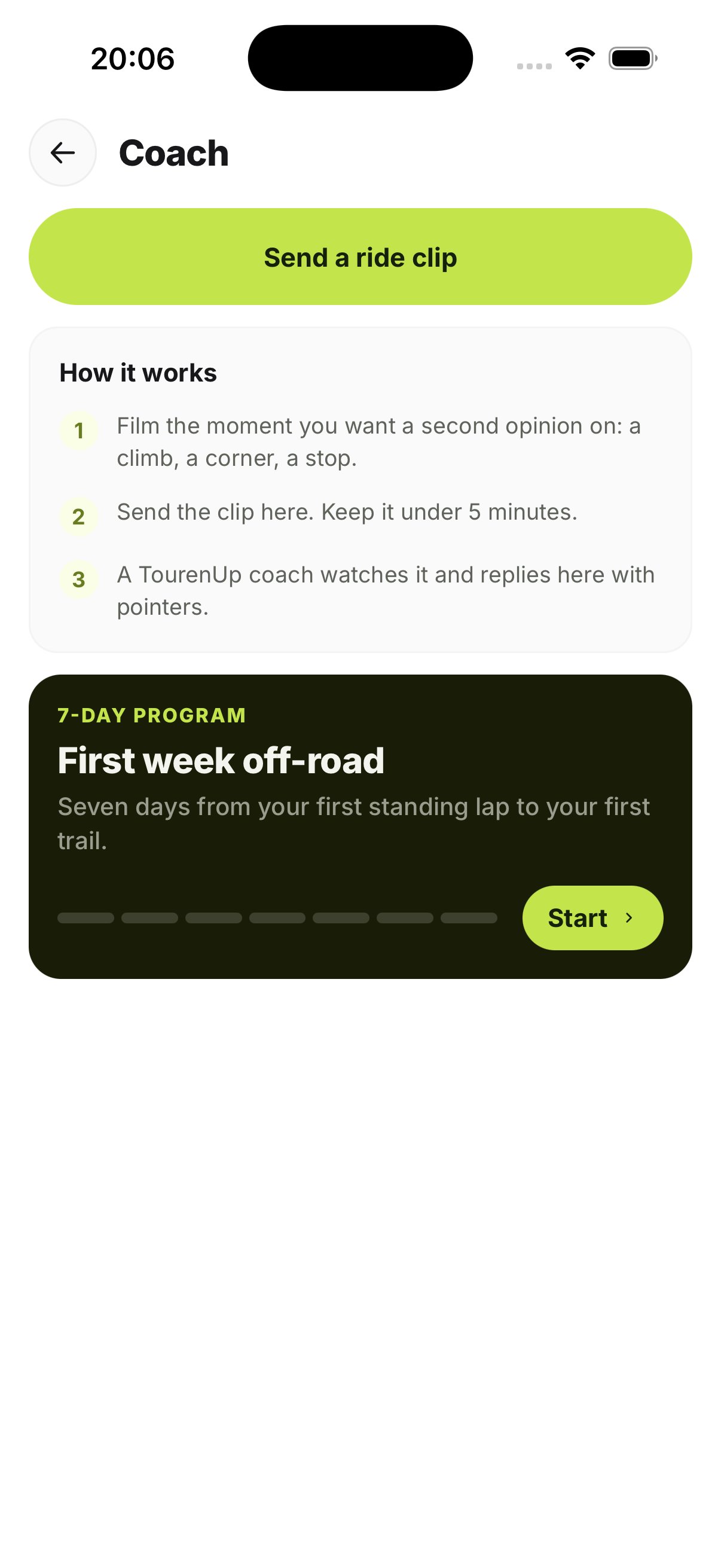
Seven days, from your first standing lap to your first trail: stand, clutch, stop, turn, rest, hills, trail.
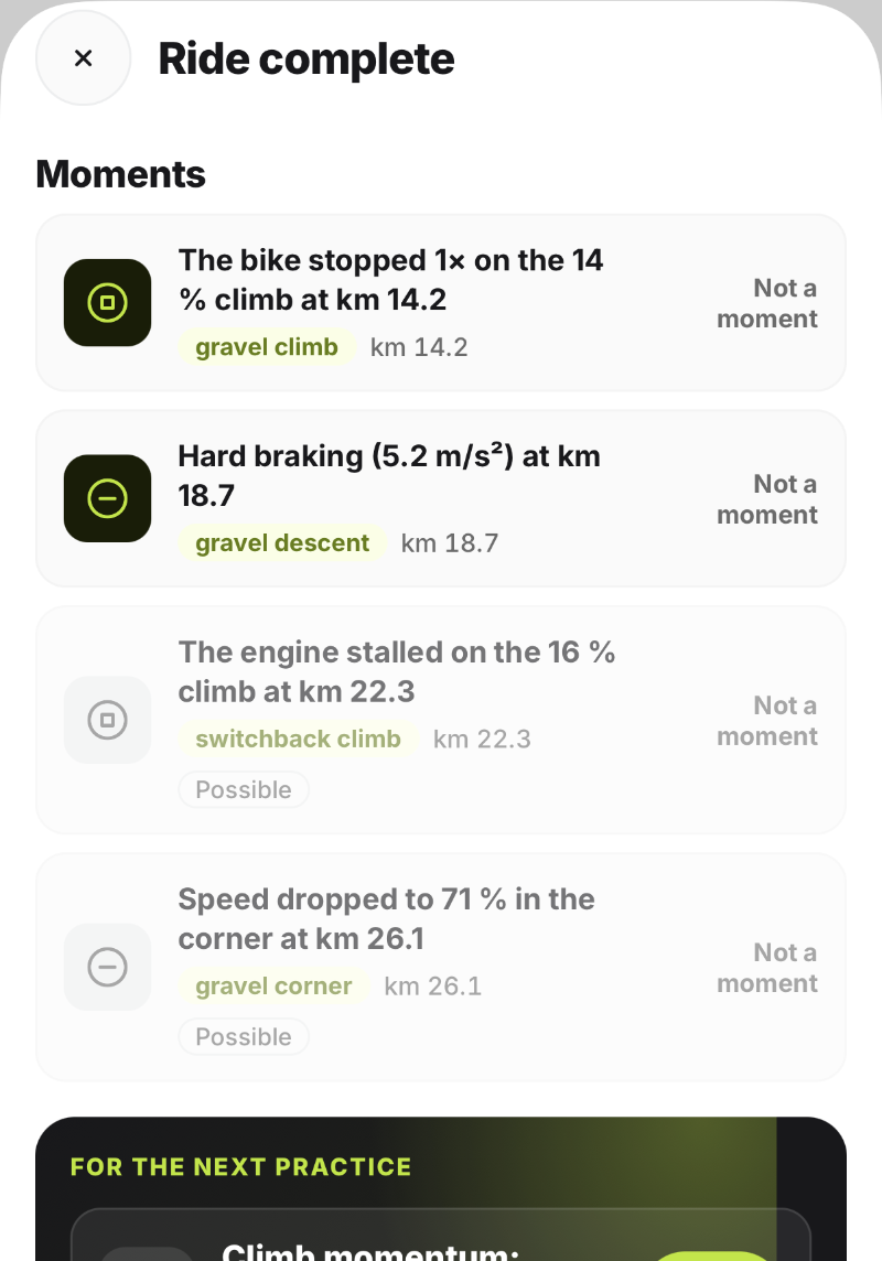
The phone notices moments during the ride, such as a hard stop or a stalled climb. Afterwards you get one or two exercises for each. In a closed pilot now.
Film the bit you want a second opinion on, up to 5 minutes. A coach watches it and replies in the app with pointers. A person, not a chatbot.
Your coach
Scott Holland
AzAdvTours and TourenUp. He reviews the clips himself.
Groups and clubs
LiveEveryone in the group adds their bike. The loop is matched to the heaviest one, so the whole group can ride the same ground. Share the trip and each rider gets the same roadbook on their own phone.
Report a closure or ask us to take a way out of trips. You don't need the app.
Get the app